

Roseville agricultural history can be difficult to see from a busy suburban street. Houses, shopping areas, and schools may occupy land that once supported crops or livestock. Yet the transition becomes easier to understand when a familiar place is followed through several kinds of evidence: a ranch record, an old map, a surviving building, and a neighborhood plan.
There was no single moment when a rural landscape became a city. Different properties changed at different times, and farming itself changed before residential development arrived. The most useful story follows those separate decisions while recognizing that the land had a much longer human history.
The landscape has a history before settler farming
The Maidu Museum & Historic Site describes the Nisenan Maidu’s presence in this region over thousands of years. Its interpretation includes traditional practices and contemporary Native art. Indigenous history belongs within the continuing history of this landscape.
Calling later farms the beginning of local history obscures that longer relationship. Likewise, a nineteenth-century ownership record does not establish that land was previously empty or unused. Our article on Nisenan Maidu history and living culture provides a place to explore this essential context.
The Fiddyment Homestead offers a specific example
The city’s March 2026 Fiddyment Homestead vision document (PDF) traces a working property through several generations. The surviving house dates to 1879. The wider ranch history includes grain and livestock, followed by commercial turkey production and later experiments with pistachios.
That sequence challenges the idea of a farm as a place where the same activities continued unchanged. Different products require different buildings, equipment, labor, storage, and routes to market. A house may remain recognizable while the business around it changes considerably.
At the homestead, the document identifies a cooler and smokehouse from around 1879–1880 and a garage dating to 1950. Their different dates show how a property accumulated features over time. Treating every surviving building as part of a single nineteenth-century scene would erase those later developments.
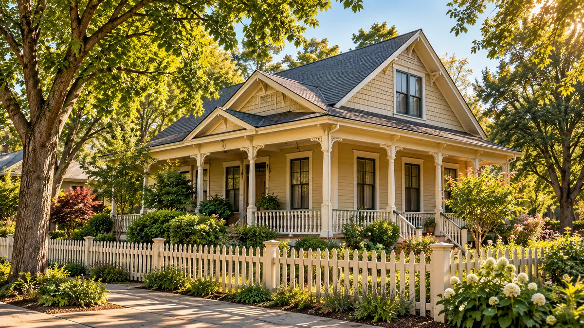
Look beyond the main house
A farmhouse attracts attention because it is easy to recognize as a home. Outbuildings, access routes, fences, and surviving photographs can help explain the work that supported that household. When a structure’s purpose is uncertain, record its visible features before deciding whether it served animals, equipment, or food storage.
A farm was connected to a wider economy
A productive property needed more than land. Farmers needed tools, supplies, people to carry out the work, and ways to get products to buyers. Those connections help explain why an agricultural history should include transportation and nearby towns as well as fields.
Railways are one part of that wider picture. Our article on how the railroad shaped Roseville examines freight and the equipment used to carry perishable goods. A particular farm’s use of a particular railway service still requires its own evidence; proximity alone does not establish a shipping history.
Useful questions include who worked on the property, where supplies came from, and whether the household had income beyond agriculture. A business ledger might answer a different question from a family photograph. Reading them together can reveal connections that neither source explains alone.
Neighborhood plans show another kind of land use
The West Roseville Specific Plan, adopted in 2004, covers 3,162 acres west of Fiddyment Road, generally north of Pleasant Grove Boulevard. Its land-use mix includes housing, commercial and industrial areas, schools, parks, and open space.
A plan like this shows that urban growth involves more than drawing residential lots. A neighborhood needs connections between homes and other activities. Streets, utilities, public facilities, and retained open areas influence its shape. Reading those categories together helps explain why two nearby pieces of land may develop differently.
A planning date is different from a building date
The Sierra Vista Specific Plan was adopted in 2010. The city explains that its different landowners develop according to their own business needs and market assessments. That can leave undeveloped parcels between completed projects.
Keep proposed capacity separate from completed development
A plan’s housing total describes an intended or permitted future arrangement. It should not be presented as a count of occupied homes on a particular date. Likewise, adoption, annexation, subdivision approval, construction, and occupancy are separate milestones. Identifying which event a record describes prevents a misleading neighborhood timeline.
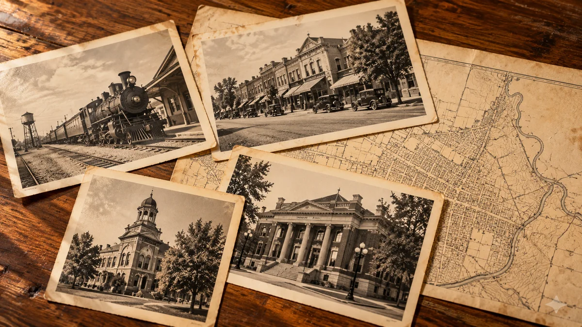
Read the changes through maps and property records
The U.S. Geological Survey’s topoView collection provides historical and more recent topographic maps to browse and download. A comparison can help locate older roads, waterways, and the spread of mapped development around a chosen property.
Choose maps that cover the same area and note their dates and scales. A road absent from an earlier edition may have been built later, but map revision schedules also matter. A line that appears to follow an old boundary is a research lead, not proof that the boundary survived unchanged.
Water offers another useful comparison. Locate a mapped creek, drainage channel, or crossing, then examine how later streets and open spaces relate to it. Ask whether the apparent connection is supported by a planning document or an engineering record. This approach can explain a neighborhood’s layout without assuming that every green corridor follows an unchanged natural feature.
For an individual address, Researching a Roseville home explains how to organize a property investigation. Begin with a location you can identify confidently, then work backward through records. This is more reliable than assuming a subdivision name describes the exact agricultural history of every lot.
What should a growing neighborhood remember?
The Fiddyment vision document proposes future public and interpretive uses for the surviving homestead. It is a planning document, so its proposals should not be mistaken for a statement that every facility is already complete or open. The distinction matters when describing preservation as part of the city’s continuing development.
A surviving building can provide a physical connection, but records preserve other parts of the story: workers’ names, changing products, property divisions, and everyday choices. Keeping those details beside the broader development timeline gives a neighborhood a history more specific than a simple before-and-after image.
Roseville’s passage from farms to neighborhoods is therefore best understood property by property, with each story connected to the larger landscape. Familiar streets become more interesting when their earlier uses are documented carefully and the people connected with those places remain part of the account.