
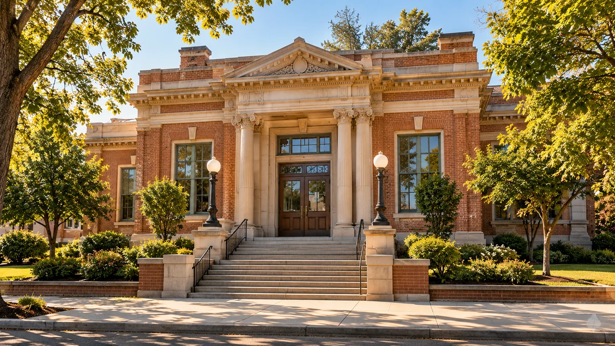
A familiar street can hold more than one story. Buildings change uses, storefronts change names, and everyday routes take on new meanings when they are read alongside photographs and records. This collection is a starting point for looking closely at Roseville’s places.
Begin with a place you recognize
Choose a building, block, or neighborhood, then follow the questions it raises. What was the place used for? Who worked or gathered there? Which details survive, and which changes are visible only in an older photograph? A useful place profile connects these questions with sources rather than relying on appearances alone.
- The Carnegie Library story — explore a civic building and its changing purpose.
- Old Town, then and now — compare the details of streetscapes and learn how to read a visual record.
- Researching a Roseville home — begin with a precise address and a manageable set of questions.
Look beyond a building’s front door
The story of a place also includes the surroundings: a railway line, a waterway, neighboring businesses, or a route to school. Changes to those connections can help explain why an area developed as it did. Follow the related articles at the end of each profile to move from one place to its wider context.
Use photographs with care
Historical photographs should have a date, a source, and enough context to distinguish observation from interpretation. Images in this site’s starter design are illustrative; the Image Credits page explains their role. For research materials, begin with the Roseville Local History Center and the research resources guide.